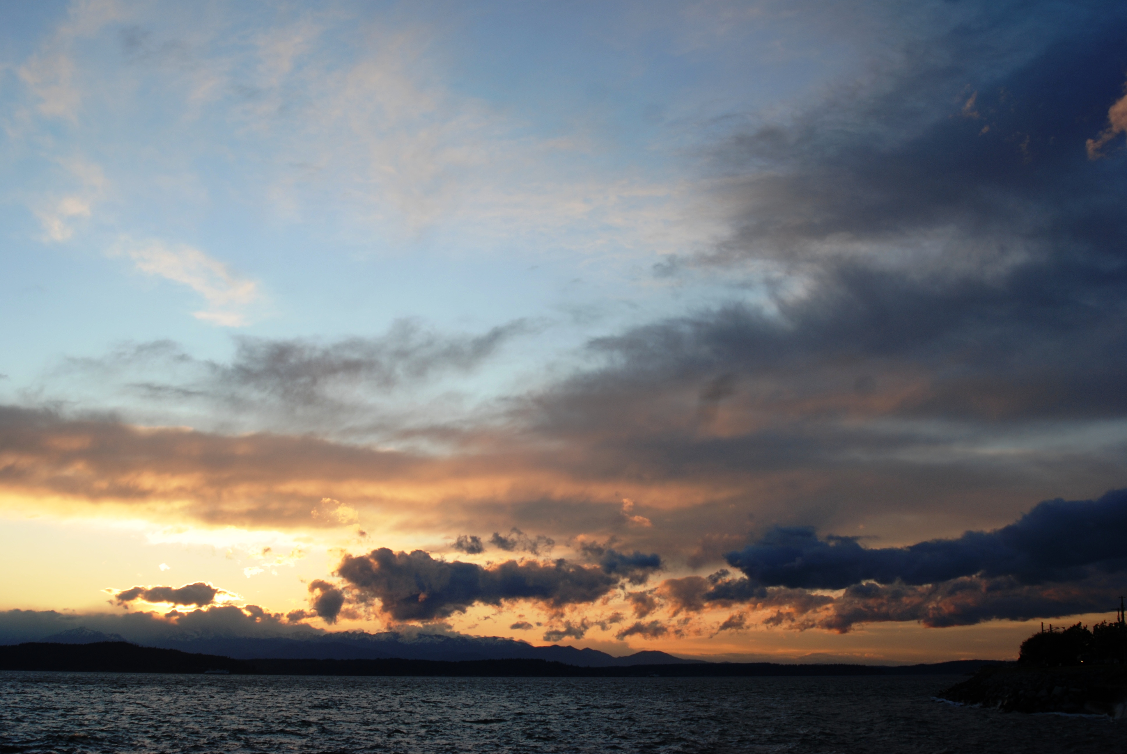
HOT Dog Report: Excessive Heat Warning until Thursday Night

Normally with extreme weather, we'll post a "barking dog" report… this weather is DSC_0109 nothing to bark about.   My poor old pug is lying low and panting in front of a fan.

According to the Seattle City forecast, we're in for some very hot weather–possibly hitting the 100's thru Thursday.

…EXCESSIVE HEAT WARNING IN EFFECT UNTIL 6 PM PDT THURSDAY…

TONIGHT…CLEAR. LOWS IN THE 60S. NORTH WIND TO 10 MPH.

TUESDAY…SUNNY. HIGHS IN THE 90S TO 100. NORTH WIND TO 10 MPH.

TUESDAY NIGHT…CLEAR. LOWS IN THE 60S. NORTH WIND TO 10 MPH.

WEDNESDAY…SUNNY. HIGHS IN THE MID 90S TO 103. LIGHT WIND BECOMING NORTHWEST 10 MPH OR LESS IN THE AFTERNOON.

WEDNESDAY NIGHT…MOSTLY CLEAR. LOWS IN THE 60S. EAST WIND TO 10 MPH.

THURSDAY…SUNNY. HIGHS IN THE 90S TO 100. 

Air conditioning in the Seattle area is not common.   This is a good time to reach out to neighbors, those who might need some extra help, to make sure they're staying cool.   You don't need to wait for Seattle Night Out next week to visit with your neighbors–which by the way, we only have until July 31, 2009 to register if we're closing down a side street or want the Seattle Police Department to stop by.


It Could Get Windy Tonight

From the City of Seattle Forecast:

TONIGHT…MOSTLY CLOUDY. LOWS IN THE 50S. SOUTHWEST WIND 10 TO 20 MPH.

From the Puget Sound Marine Forecast:

..SMALL CRAFT ADVISORY FOR WINDS IN EFFECT FROM 6 PM PDT THIS EVENING THROUGH MONDAY AFTERNOON…

TODAY…LIGHT WIND…BECOMING VARIABLE 5 TO 15 KT THIS AFTERNOON. WIND WAVES LESS THAN 1 FT…BUILDING TO 2 FT OR LESS.

TONIGHT…S WIND RISING TO 20 TO 30 KT BY MIDNIGHT. WIND WAVES BUILDING TO 3 TO 5 FT.

The next high tide is an 11.4 at 6:32 this evening; going down to a 7.6 at 11:45 and then up to a 9.8 at 3:51 Monday morning.

Monday's current marine forecast:

MON…SW WIND 15 TO 25 KT. WIND WAVES 2 TO 4 FT. A CHANCE OF SHOWERS.

I'm not quite sure if this qualifies as our "Barking Dog Report" (when we drag out pumps in case of potential flooding) but it is something to be aware of.


DejaVu All Over Again: Early June Weather

Remember that storm in early June last year?  I do…the spray from the salt savaged my tomato plants and several trees.  Tonights blast of wind is pretty amazing too.    I must admit, as someone who likes to share a "barking dog report" when the weather changes on us; this one caught me by surprise.   One moment, I was enjoying a beautiful sunset with my husband on the deck… and then my Sister-in-Law calls from Woodmont to ask if the wind has hit us yet…during our call it did!

DSC_0199

West Seattle Blog is reporting that parts of North Admiral may be out of power (our lights have flickered while writing this post).

Editors Note:  I'm posting live from my laptop as I write this just in case we lose power, internet, etc.

All this hot sunny weather has had my "barking dog" reports taking a comfy snooze…but not Cliff Mass…his post from today says all Hell is breaking loose!

Batten Down the Hatches Tonight

From the Seattle City Forecast:

…WIND ADVISORY IN EFFECT FROM MIDNIGHT TONIGHT TO 8 AM PDT TUESDAY…

TODAY…CLOUDY. HIGHS IN THE UPPER 50S TO MID 60S. SOUTH WIND 10 TO 15 MPH.

TONIGHT…RAIN. BECOMING WINDY AFTER MIDNIGHT. LOWS IN THE 40S. SOUTH WIND 10 TO 15 MPH INCREASING TO 20 TO 30 MPH WITH GUSTS TO 45 MPH AFTER MIDNIGHT

The forecast may change…so be sure to check back and use the links for updated reports. 

UPDATE:  corrected tides- 8:08pm 2.9 up to 11.4 at 2.42am. 

Marine Forecast as of 9:30pm:

…GALE WARNING IN EFFECT THROUGH TUESDAY MORNING…

TONIGHT…SE WIND 15 TO 25 KT BECOMING S 25 TO 35 KT AFTER MIDNIGHT. WIND WAVES 3 TO 5 FT. RAIN.

TUE…S WIND 25 TO 35 KT EASING TO SW 20 KT AFTERNOON. WIND WAVES 4 TO 6 FT SUBSIDING TO 3 FT IN THE AFTERNOON. SHOWERS.

Mother Nature’s March Madness

By the time I post this, our snow could turn into rain. This morning, I awoke to big fat snow flakes coming down pretty heavy.

Snow 004

Mother Nature has a storm in store for us starting around noon and blowing through the late evening.

City of Seattle Forecast:

…WIND ADVISORY IN EFFECT FROM NOON TODAY TO 11 PM PDT THIS EVENING…

TODAY…SNOW AND RAIN BECOMING RAIN BY LATE MORNING. SNOW ACCUMULATION LESS THAN 1 INCH. BECOMING WINDY. HIGHS IN THE 40S. SOUTH WIND 10 TO 15 MPH BECOMING SOUTHWEST 20 TO 30 MPH WITH GUSTS TO NEAR 40 MPH THIS AFTERNOON.

TONIGHT…WINDY. SHOWERS LIKELY. LOWS IN THE 30S. SOUTHWEST WIND 20 TO 30 MPH WITH GUSTS UP TO 40 MPH. WINDS EASING TO 10 TO 20 MPH BY MIDNIGHT.

The Marine Forecast for the Puget Sound area:

…GALE WARNING IN EFFECT THROUGH THIS EVENING…

TODAY…S WIND 10 TO 20 KT…RISING TO SW 25 TO 35 KT EARLY IN THE AFTERNOON. WIND WAVES 1 TO 3 FT…BUILDING TO 3 TO 5 FT IN THE AFTERNOON. RAIN IN THE MORNING…THEN SHOWERS LIKELY IN THE AFTERNOON.

TONIGHT…SW WIND 25 TO 35 KT…EASING TO 15 TO 25 KT AFTER MIDNIGHT. WIND WAVES 3 TO 5 FT…SUBSIDING TO 2 TO 4 FT

We're past our morning high tide of 11.1 feet at 8:55 a.m. and are now heading to a low tide of 0.1 at 2:44 p.m.   Our next high tide is at 10.2 at 9:41 p.m. which will go to a 6.5 at 3:03 a.m. Monday morning.

Morning Snow on Beach Drive

P2260008 

The forecast calls for "scattered snow showers this morning…with local accumulations of an inch or two possible.  A chance of snow or rain showers this afternoon…."

P2260010 

Photo:  Mee Kwa Mooks Park.

Snow!

Well at least it's just a dusting along Beach Drive…it certainly should not be enough snow to delay our scheduled garbage pick up!  

P2090004 

Worse case scenario, you may some ice on your windshields to contend with this morning.

P2090007 

We still have snow in the forecast for Seattle for tonight and tomorrow morning.

Barking Dog Report: Gale Winds and High Waves

Looks like we'll be wrapping up 2008 with a real blast from Mother Nature.  Based on Istock_000002610704medium_1all the reports I'm checking out now…I'm issuing a "Barking Dog Report".  If this is your first time hearing this term from BDB, my husband fondly refers to me as a "barking dog" when I'm anxious, especially if I think there's a chance that we may have water coming over our bulkhead.  If we are preparing for this type of event, if I have time, I publish a "Barking Dog Report" on Beach Drive Blog.   I rely on websites I have below under "Swell Links" on the left side of this blog.

The City of Seattlesite has is a "WIND ADVISORY IN EFFECT FROM 6PM THIS EVENING TO 7AM PST WEDNESDAY…TONIGHT…WINDY…RAIN…LOWS IN THE 30S.  SOUTH WIND 15 TO 20 MPH INCREASING TO 25 TO 35 MPH WITH GUSTS TO 45 MPH AFTER MIDNIGHT."

The Puget Sound Marine Forecast has a "GALE WARNING IN EFFECT…TONIGHT…S WIND 20 TO 25 KT RISING TO 35 KT AFTER MIDNIGHT…THEN BECOMING SW LATE.  WIND WAVES 3 OR 4 BUILDING TO 4 TO 6 FT.  RAIN TURNING TO SHOWERS AFTER MIDNIGHT.

WED…SW WIND 15 TO 25 KT.  WIND WAVES 2 TO 4 FT.  SHOWERS.   WED NIGHT…SW WINDS 10 TO 15 KT…BECOMING S AFTER MIDNIGHT. WIND WAVES 1 OR 2 FT.

Factor in our area tide schedule for the remainder of today and tomorrow:

At 5:43 pm today (just before Seattle's wind advisory), West Seattle tides are at the second high tide of the day at 9.4 feet.   Tides retreat to a -0.7 feet at 12:37 am on Wednesday and then up to 12.3 feet at 7:58 am (just after the wind advisory is currently reported as being over).  

Want more local weather info?  Check out the Cliff Mass Weather Blog (I've added a his weather site to Swell Links).  Hat tip to West Seattle Blog.

Waves Gone Wild!

When will our weather lighten up a bit?  Geepers (as my Grandma Esther would barnacle that hit our bedroom window (about 20 feet high) say)!  Watching the early news this morning on King-5, snug as a bug, I was dismayed to hear that we are set to have a series of storms this week…and so here we are with non-stop wind and waves.  It’s gorgous to look at as long as the waves stays over on the water side of the bulkhead!   Today is supposidly just the start…Wednesday night to Thursday morning (from what I understand) is suppose to be the big whopper of wind storms.  It’s a bit too early for me to post a “barking dog” report…but it’s never too early for a concerned dog to pace around a bit.    Especially if you consider that we’re having high tides just over 12 feet this entire week…WOOF!

In fact, according to the local Beach Drive “weather station” we’ve had gusts up to 56 mph today.   The photo is of a barnacle that splashed about 20 feet high onto our bedroom window!

Here’s how things look so far based on the Puget Sound Marine forecast:

...GALE WARNING IN EFFECT THROUGH 4 PM…

TODAY…SW WIND 25 TO 35 KT. HIGHER WINDS AND WAVES SOUTH SOUND. WIND WAVES BUILDING TO 3 TO 5 FT. RAIN THIS MORNING…THEN NUMEROUS SHOWERS THIS AFTERNOON.

TONIGHT…SW WIND 15 TO 20 KT…BECOMING S 10 TO 15 KT AFTER MIDNIGHT. WIND WAVES 1 TO 3 FT. SCATTERED SHOWERS

TUE…S WIND 10 TO 15 KT. WIND WAVES 1 OR 2 FT. CHANCE OF RAIN IN THE MORNING…THEN RAIN IN THE AFTERNOON.

TUE NIGHT…S WIND RISING TO 15 TO 25 KT…BECOMING SW 20 TO 30 KT AFTER MIDNIGHT. WIND WAVES BUILDING TO 3 TO 5 FT.

WED…SW WIND 15 TO 25 KT…EASING TO 10 TO 20 KT IN THE AFTERNOON. WIND WAVES 2 TO 4 FT SUBSIDING TO 1 TO 3 FT IN THE AFTERNOON.

THU…SE WIND 10 TO 20 KT…BECOMING S 15 TO 25 KT. WIND WAVES BUILDING TO 2 TO 4 FT.

Forecast for Seattle:

REST OF TODAY…BREEZY. RAIN LATE THIS MORNING…THEN SHOWERS THIS AFTERNOON. HIGHS IN THE LOWER 40S. SOUTHWEST WIND RISING TO 15 TO 25 MPH.

TONIGHT…MOSTLY CLOUDY WITH SCATTERED SHOWERS. LOWS IN THE 30S. SOUTHWEST WIND 10 TO 15 MPH.

TUESDAY…RAIN LIKELY. HIGHS IN THE LOWER TO MID 40S. SOUTH WIND 10 TO 15 MPH.

TUESDAY NIGHT…WINDY. RAIN IN THE EVENING…THEN NUMEROUS SHOWERS AFTER MIDNIGHT. LOWS IN THE MID TO UPPER 30S. SOUTH WIND 20 TO 30 MPH.

WEDNESDAY…NUMEROUS SHOWERS. HIGHS IN THE UPPER 30S TO MID 40S. SOUTHWEST WIND 10 TO 20 MPH.

WEDNESDAY NIGHT…RAIN LIKELY. LOWS IN THE LOWER 30S.

NEW YEARS DAY AND THURSDAY NIGHT…BREEZY…RAIN. HIGHS IN THE MID 40S. LOWS IN THE MID 30S.

FRIDAY…WINDY…SHOWERS. HIGHS IN THE MID 40S

News Release from the City of Seattle regarding the Weather

On Sunday, Hiawatha Community Center will be  open from noon – 5:00 pm for shelter should you need it.  From the Press Release:

“Seattle Public Utilities reminds residents to prepare water pipes for cold weather. Shut off outside faucets, drain the water and protect them by insulating them with rags or foam covers. Pipes in exposed or unheated areas (attics, basements and garages) should be wrapped with tape and insulating materials, available at local hardware stores. Drain and remove all outdoor hoses, and shut off and drain in-ground sprinkler systems.

Residents are also urged to protect indoor sink pipes that are against exterior walls, by opening under-sink cabinet doors, allowing heat to circulate. During severe cold, allow the faucet farthest from your front door to slowly drip cold water. Set your thermostat no lower than 55 degrees Fahrenheit, day or night (even if you are away).

If a water pipe breaks, immediately close the main shut-off valve to stop excessive flooding. If you cannot turn off the main shut-off valve, SPU customers can call  (206) 386-1800  and a crew will turn off the water at the meter for a standard service charge.”