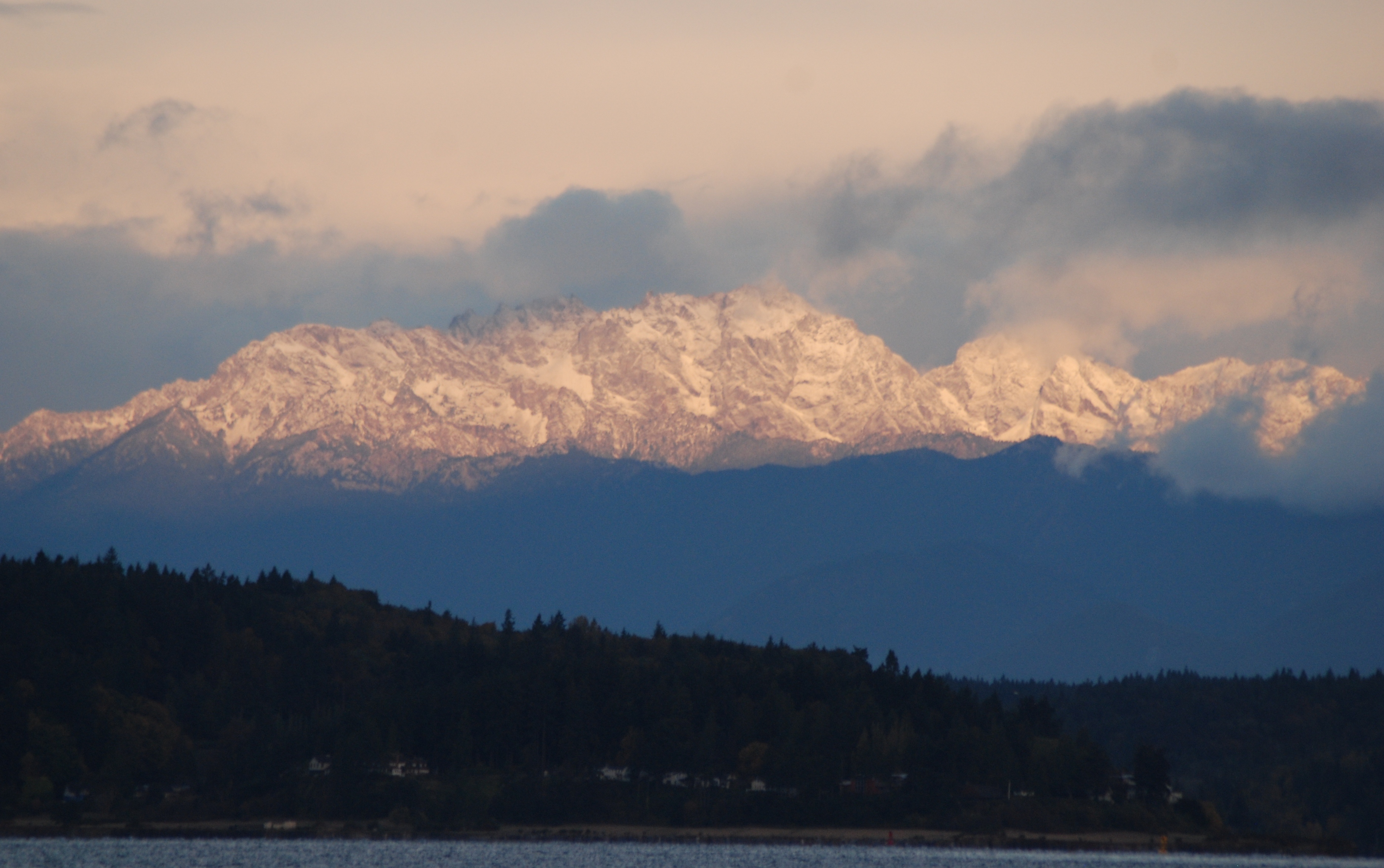
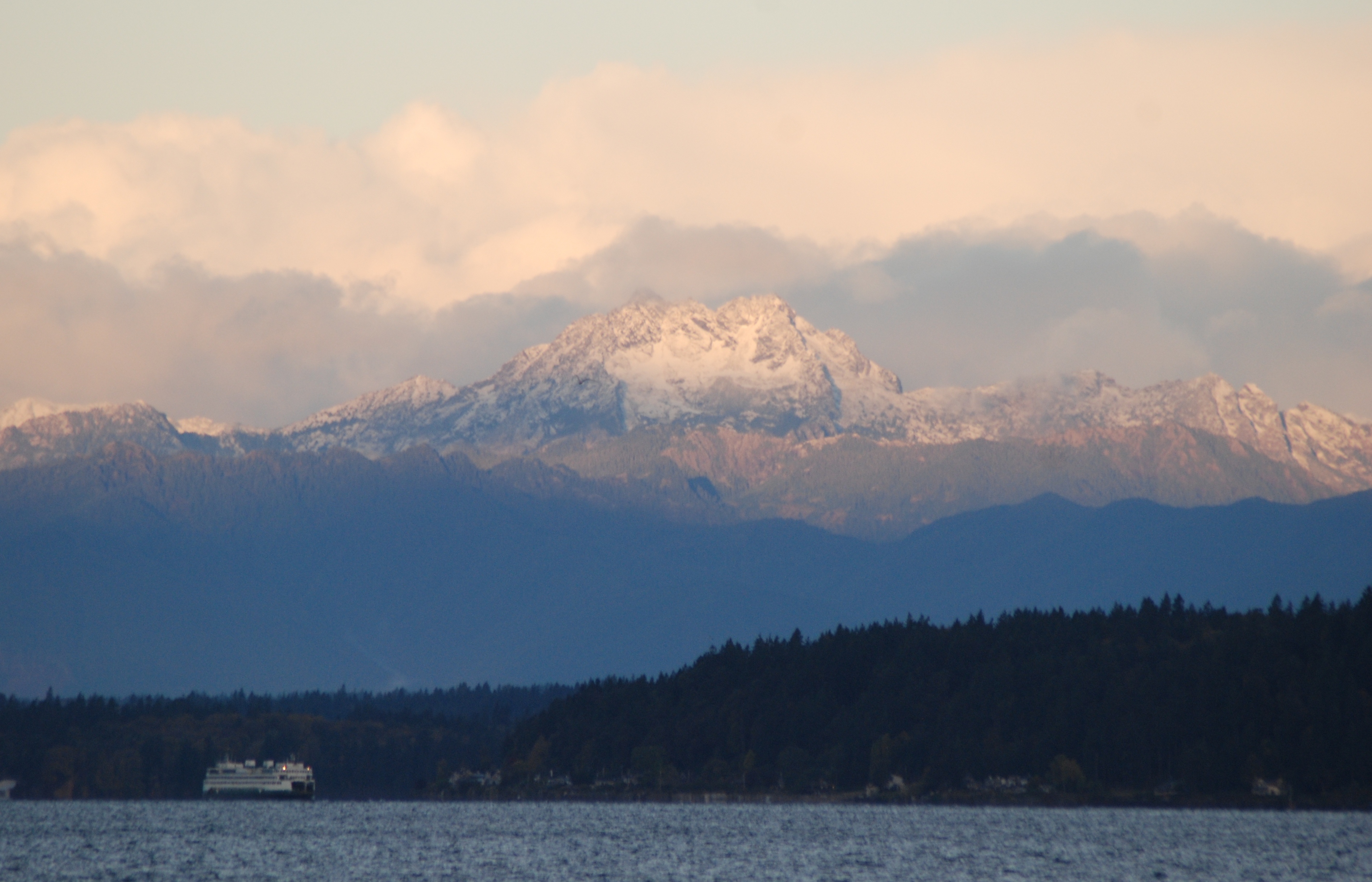
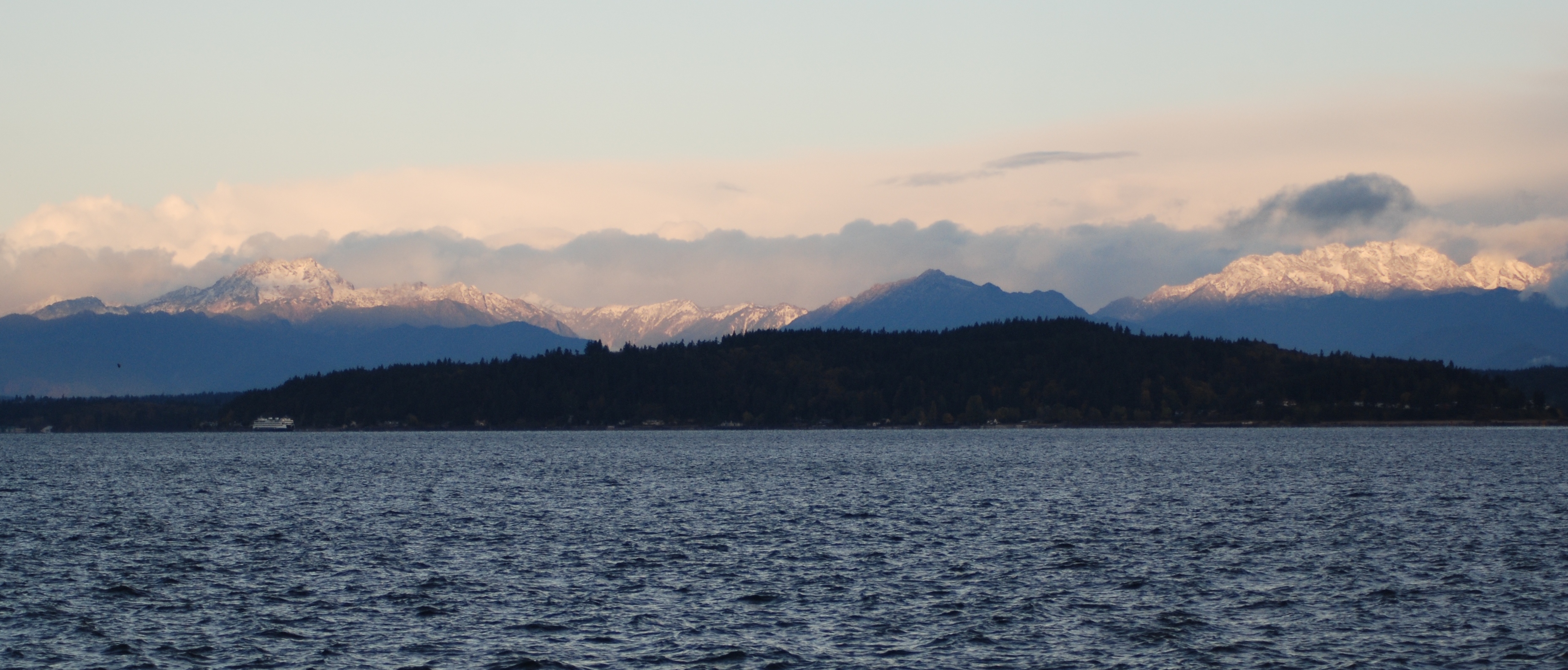
Good morning, neighbors! We are starting the day with a gale warning through 1:00 p.m. (current forecast as I write this just before 7:00 am).
Here’s the forecast using the blended model from Wind Alert.

High tide for today is predicted to be 12.53 feet at 7:41 am this morning…

…GALE WARNING REMAINS IN EFFECT UNTIL 1 PM PST THIS AFTERNOON…
Issued by NWS Seattle WA
* WHAT…South winds 25 to 35 kt gusting to 40 kt.
* WHERE…East Entrance U. S. Waters Strait Of Juan De Fuca, Northern Inland Waters Including The San Juan Islands, Admiralty Inlet and Puget Sound and Hood Canal.
* WHEN…Until 1 PM PST this afternoon.
* IMPACTS…Strong winds will cause hazardous seas which could capsize or damage vessels and reduce visibility.
* PRECAUTIONARY/PREPAREDNESS ACTIONS…
A Gale Warning means winds of 34 to 47 knots are imminent or occurring. Operating a vessel in gale conditions requires experience and properly equipped vessels. It is highly recommended that mariners without the proper experience seek safe harbor prior to the onset of gale conditions.
The extended weather forecast shows the Coastal Flood Advisory until 10:00 am and a chance of light snow Wednesday night.

Happy New Year!
 Posing by the Blue Glass House – Happy Valentines Day!
 Giggling kids were playing and sledding along side streets.
 Looking south from Emma Schmitz Viewpoint, there is a small snowman on a bulkhead.
 And how about this awesome snowman igloo?


 ...WINTER STORM WARNING NOW IN EFFECT FROM NOON TODAY TO 4 PM PST
SATURDAY...
* WHAT...Heavy snow expected. Total snow accumulations of 4 to 6
inches expected. Local snowfall accumulations of 8 inches. North
to northeast winds will increase late tonight and Saturday to 15
to 30 mph with some local gusts to 45 mph. The wind will likely
reduce visibility at times due to blowing snow, especially near
shorelines of the inland waters.
* WHERE...Portions of northwest and west central Washington,
including Seattle, Everett, Tacoma, Bremerton, Bellevue, North
Bend, Redmond, Kent, Port Angeles, Sequim, Oak Harbor, and Mount
Vernon.
* WHEN...From Noon today to 4 PM PST Saturday. The heaviest
snowfall accumulations for most of the area will occur between 3
PM this afternoon and 10 PM this evening.
* ADDITIONAL DETAILS...A period of 2 inch per hour snowfall
accumulations is likely during todays late afternoon and evening
commute in the Tacoma, Everett, Seattle, and Bremerton area.
Travel is likely to become very difficult. Areas of blowing snow
could contribute to reduced visibility late tonight into
Saturday.
PRECAUTIONARY/PREPAREDNESS ACTIONS...
A Winter Storm Warning for snow means severe winter weather
conditions will make travel very hazardous or impossible. If you
must travel, keep an extra flashlight, food and water in your
vehicle in case of an emergency.
For the latest road conditions in Washington state, call 5 1 1.
Puget Sound - Hood Canal Marine Forecast - Gale Watch 6:00 PM - Saturday Night (Last updated:
...WINTER STORM WARNING NOW IN EFFECT FROM NOON TODAY TO 4 PM PST
SATURDAY...
* WHAT...Heavy snow expected. Total snow accumulations of 4 to 6
inches expected. Local snowfall accumulations of 8 inches. North
to northeast winds will increase late tonight and Saturday to 15
to 30 mph with some local gusts to 45 mph. The wind will likely
reduce visibility at times due to blowing snow, especially near
shorelines of the inland waters.
* WHERE...Portions of northwest and west central Washington,
including Seattle, Everett, Tacoma, Bremerton, Bellevue, North
Bend, Redmond, Kent, Port Angeles, Sequim, Oak Harbor, and Mount
Vernon.
* WHEN...From Noon today to 4 PM PST Saturday. The heaviest
snowfall accumulations for most of the area will occur between 3
PM this afternoon and 10 PM this evening.
* ADDITIONAL DETAILS...A period of 2 inch per hour snowfall
accumulations is likely during todays late afternoon and evening
commute in the Tacoma, Everett, Seattle, and Bremerton area.
Travel is likely to become very difficult. Areas of blowing snow
could contribute to reduced visibility late tonight into
Saturday.
PRECAUTIONARY/PREPAREDNESS ACTIONS...
A Winter Storm Warning for snow means severe winter weather
conditions will make travel very hazardous or impossible. If you
must travel, keep an extra flashlight, food and water in your
vehicle in case of an emergency.
For the latest road conditions in Washington state, call 5 1 1.
Puget Sound - Hood Canal Marine Forecast - Gale Watch 6:00 PM - Saturday Night (Last updated:


Recent Comments