Low tide neighbors get exposed!

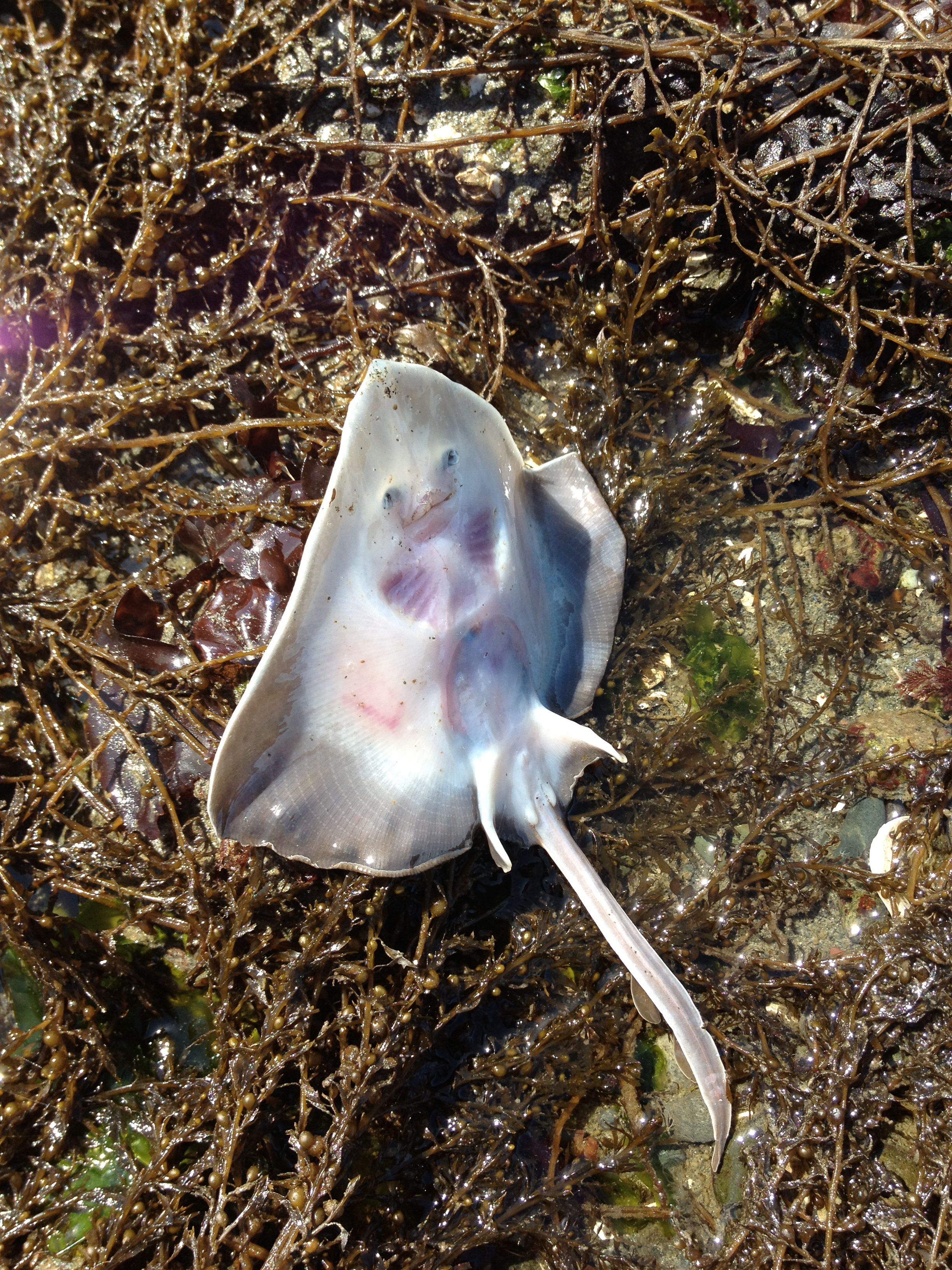
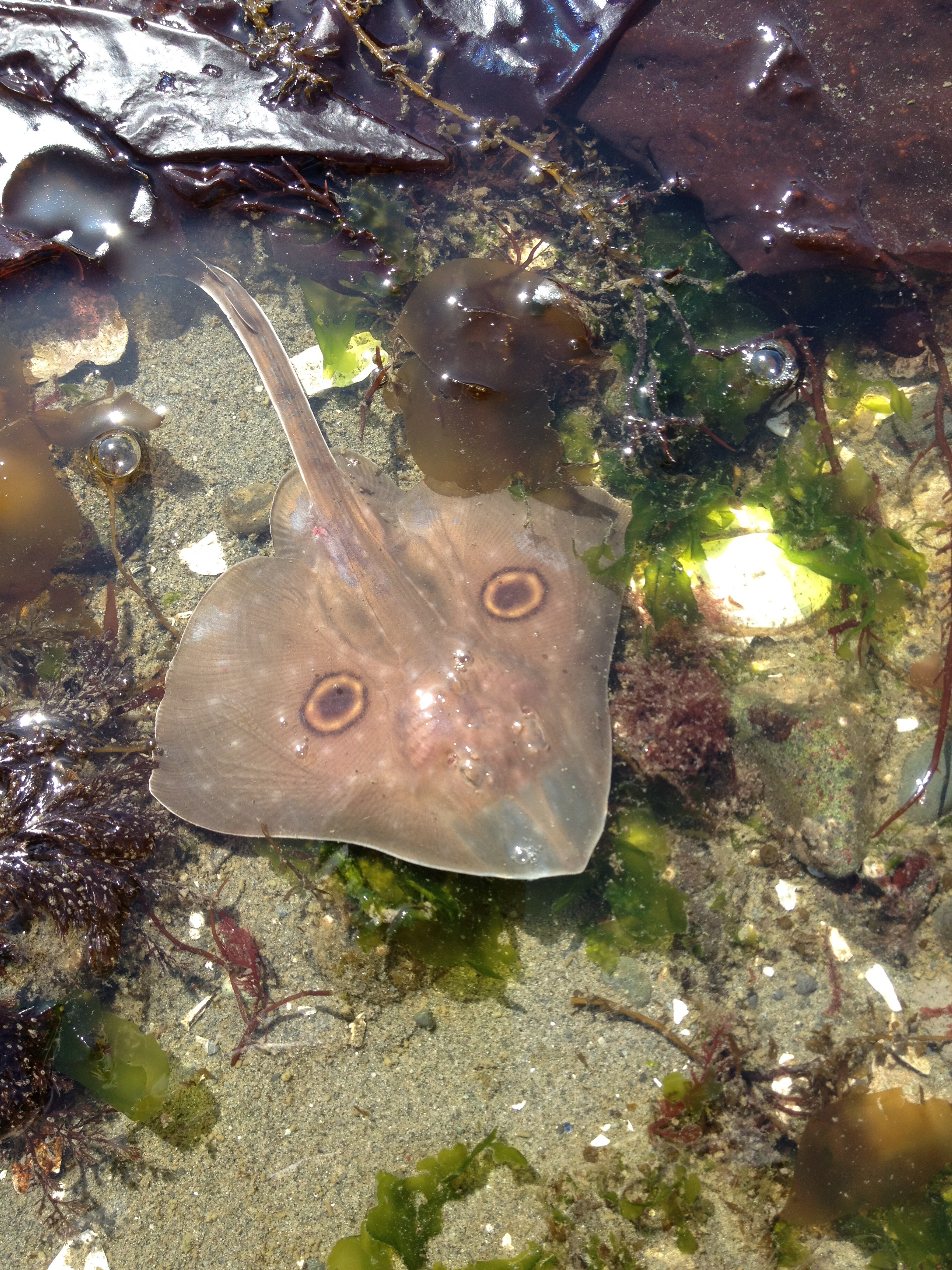
Two days of low tides offered some great sights along a couple of West Seattle beaches. Starting with the beach off of Emma Schmitz Viewpoint, found this Stingray looking critter on it's back and set him back in the water before the birds made a meal of him!
IMG_0615

IMG_0617

then found these gooey looking dudes hanging off a rock about 200 yards out…
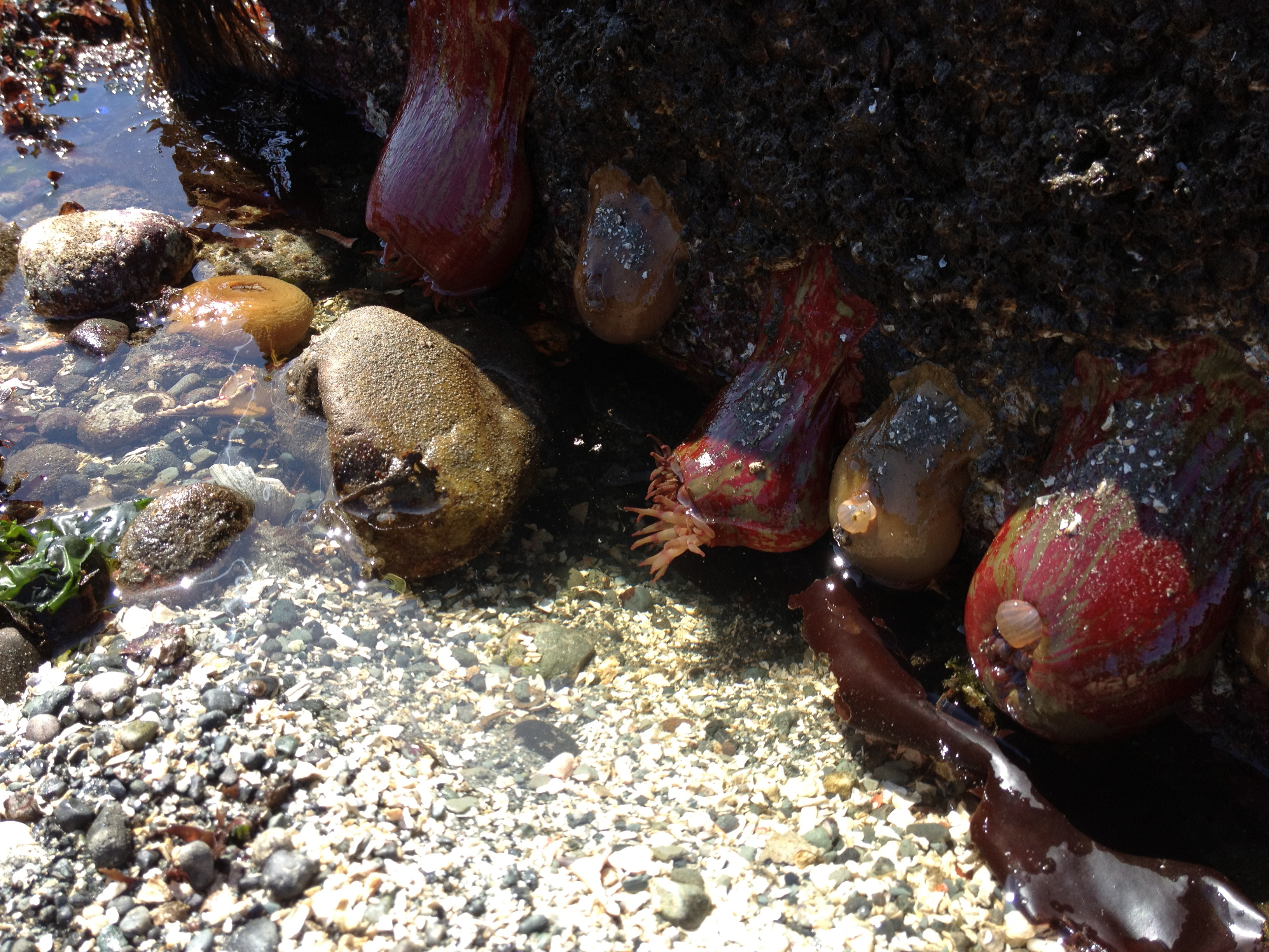
IMG_0624

Click here for an album of other photos taken off Beach Drive.

Then it was off to Fauntleroy Cove where I could almost walk straight on the Ferry from the exposed beach under the piers. Great access from Fauntleroy Park located on the north side of the dock…
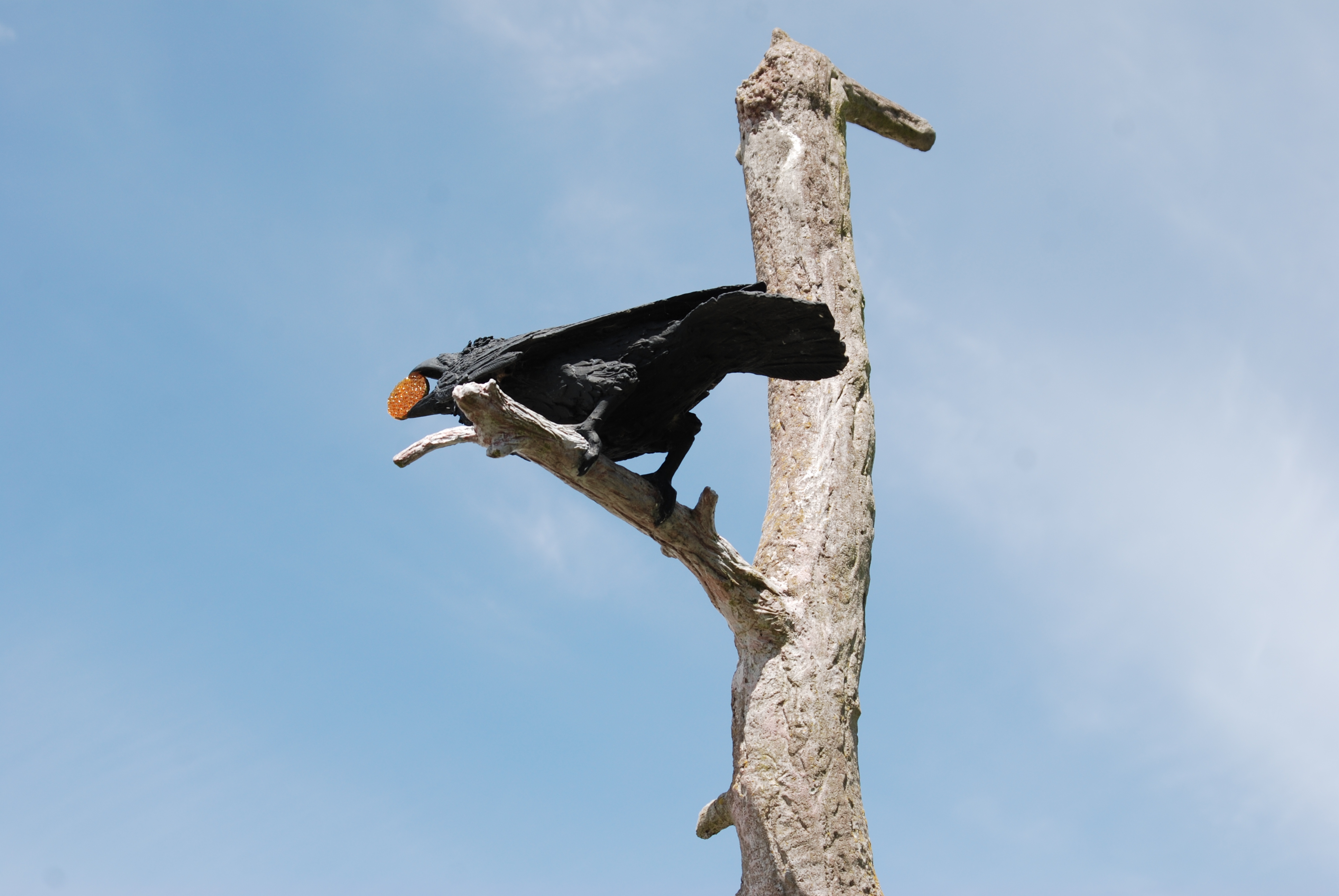
Fauntleroypark
Great sculpture of a Raven marking the location of the park

Lowtide2

Lowtide1

Tomorrow promises to be another great day to see what's lurking below with a minus tide of -3.3.  Someday I hope to get a glimpse of the famous Spirit Boulder that's been reported to peak it's head out at extreme low tides on the south side of the ferry dock.

Scupper for Beach Drive Blog
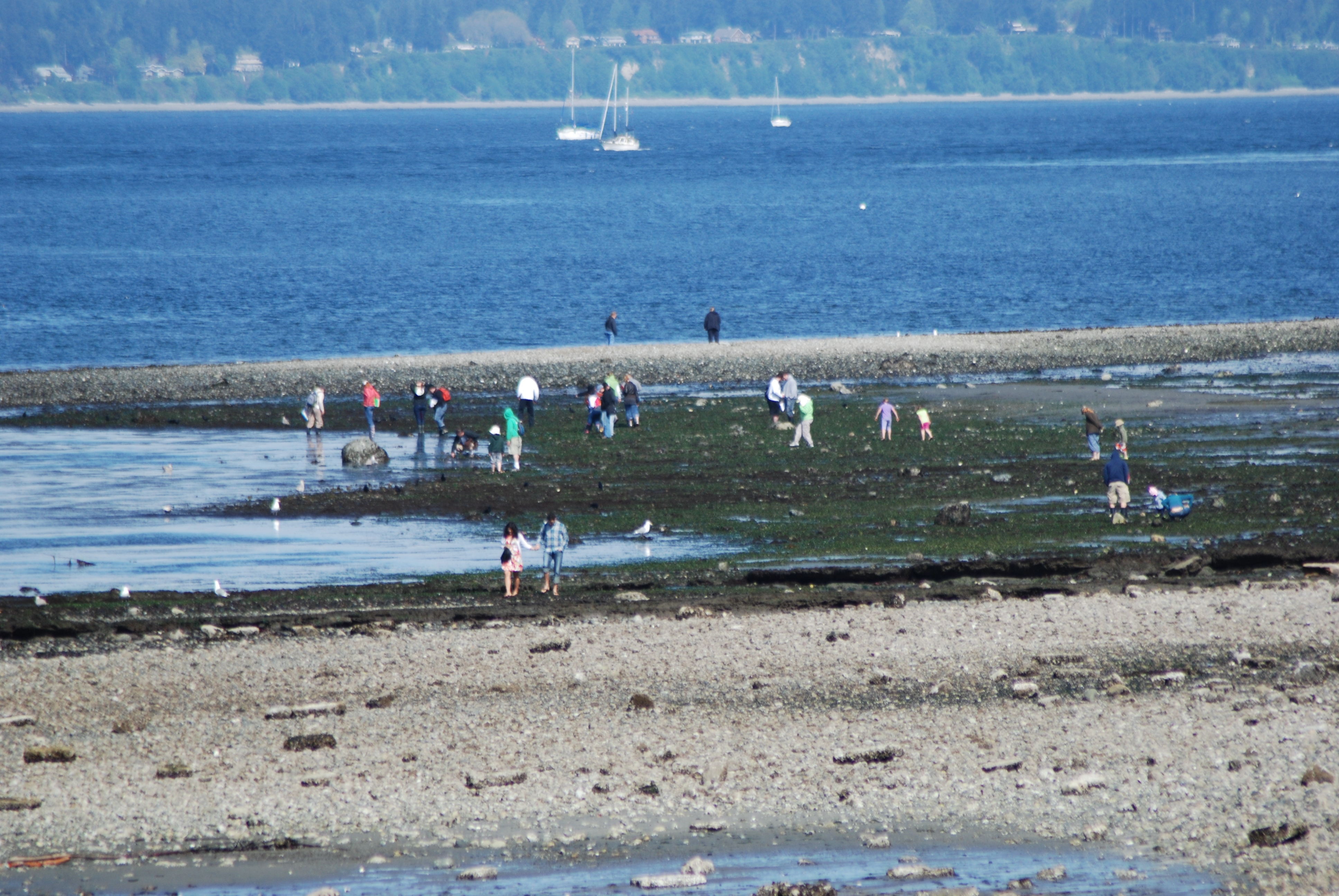
Happening Now: Beach Safari at Mee Kwa Mooks

The Seattle Parks Department is hosting a "family beach safari" on the shores of Mee Kwa Mooks (aka Emma Schmitz Viewpoint) right now.  The walks are free and require advanced registration.

It's a great day to explore the beach with a low of minus 3.00 at 11:38 pm today.

Meekwawooks

The next walk at this park is scheduled on May 20, 2012.  You can register for this walk by calling 206-386-4236 or by clicking here.

Local dive serves up great seafood and heavy drinkers!

Just a couple hundred yards off Beach Drive lies one of the best little dives along the entire Alki strip. Locals would reefer to it as a a swim-up bar but most get to it by boat (want more puns?). 

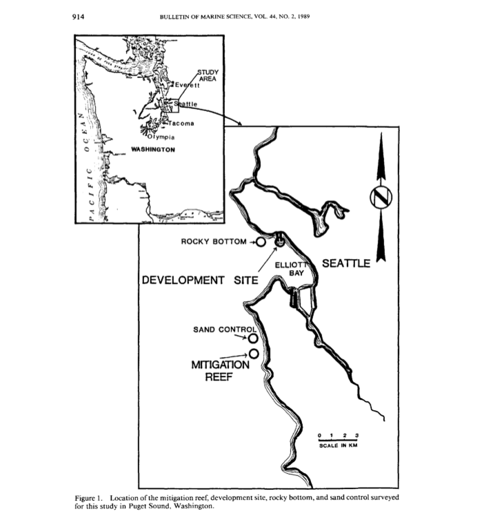
Known to most as the Alki Rock Pile, this site also goes by Alki Reef, Jacobson Fishing Reef or Fish Haven (as noted on marine charts). Several popular dive sites on the web incorrectly state that this man-made reef was one of the original 13 artificial reefs created in Puget Sound in the mid 1970's by Washington Dept of Fish and Wildlife. It was actually created in May of 1987 as a "mitigation reef" to offset the ecological damage created when developing the Elliott Bay Marina.

Mitigation_reef

The idea was to carefully construct a reef which would provide an assemblage of economically important fish species similar to, or greater than, the impacted habitat.

A scientific study used to measure the effectiveness of the reef in 1989 described how it was built…

"A total of 181,400 metric tons of quarry rock was used to construct fourteen 41 m· 15 m· 6 m (high) reef structures in a 2.83 ha area during May 1987. This design of a 1:2 ratio of reef material: sand bottom also accommodated the trophic level relationships normally occurring for fishes feeding from reef structures and surrounding natural habitats."

While researching this particular reef on the internet, I found that it has become a reference point for building artificial reefs worldwide. 

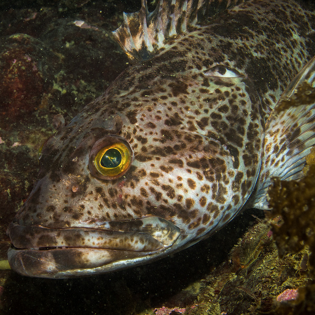
Today marks the opening day for Ling cod fishing which will attract several boats fishing the reef in May.

Linger
Photo credit to zlatcarp Hey baby, last time I seen a mouth like that, it had a hook in it!

LingDivers
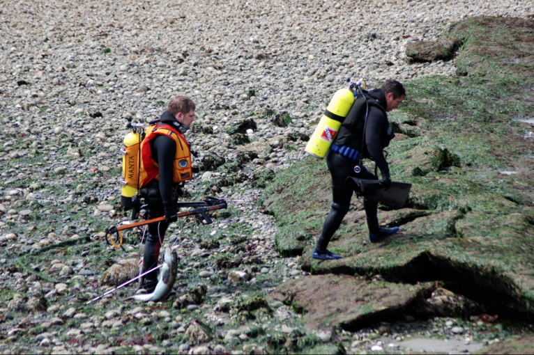
Divers get their shot of these lunkers in the 3rd week in May 

I'll end this fish story with a great video of a couple of divers that were escorted from Emma Schmitz Viewpoint to the reef by a "true local". Turn up your speakers and enjoy!


Scupper, for Beach Drive Blog

Did Your Dock take a Walk?

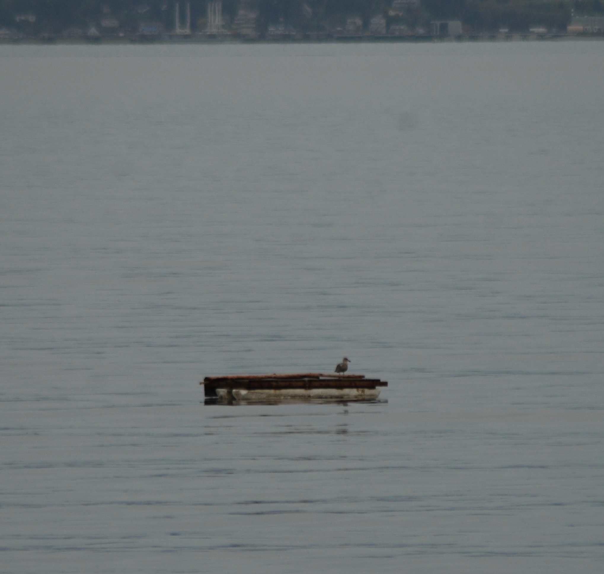
If you have a small floating dock, you may want to double check to make sure it's anchored where it's supposed to be.  

This dock appears to be heading north (currently it is just south of Emma Schmitz Memorial View Point).

Dock


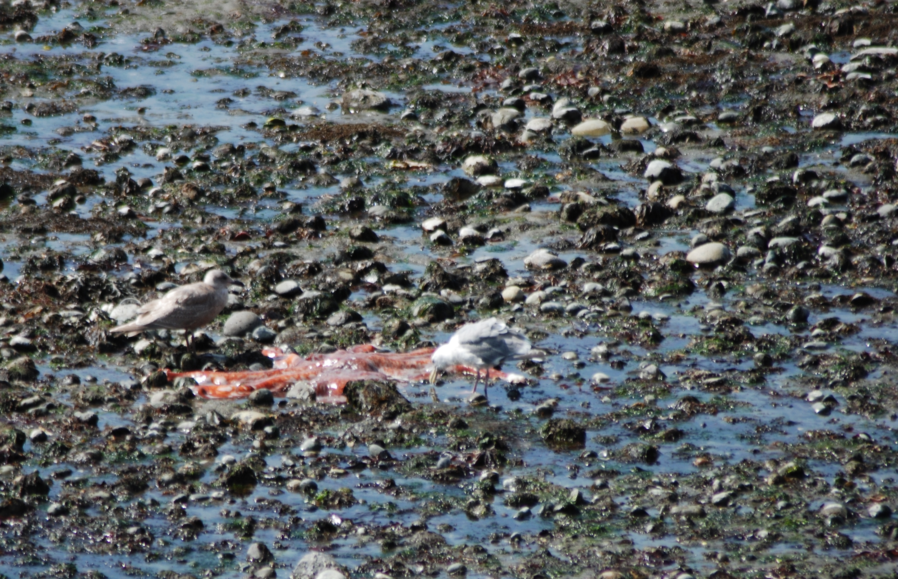
Low Tide Lunch Time

Lowtidelunch
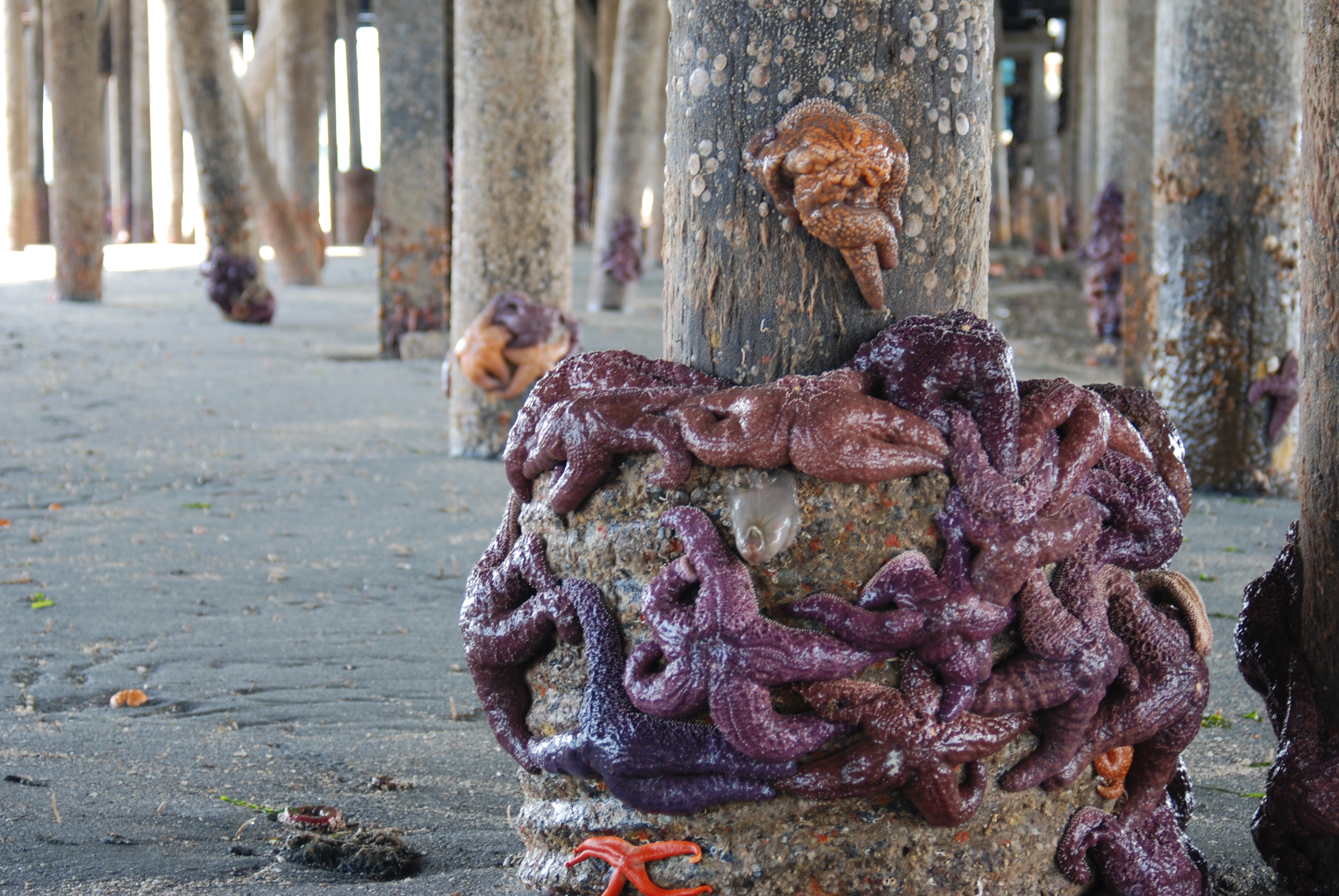
This looks too slimy to be a starfish. 

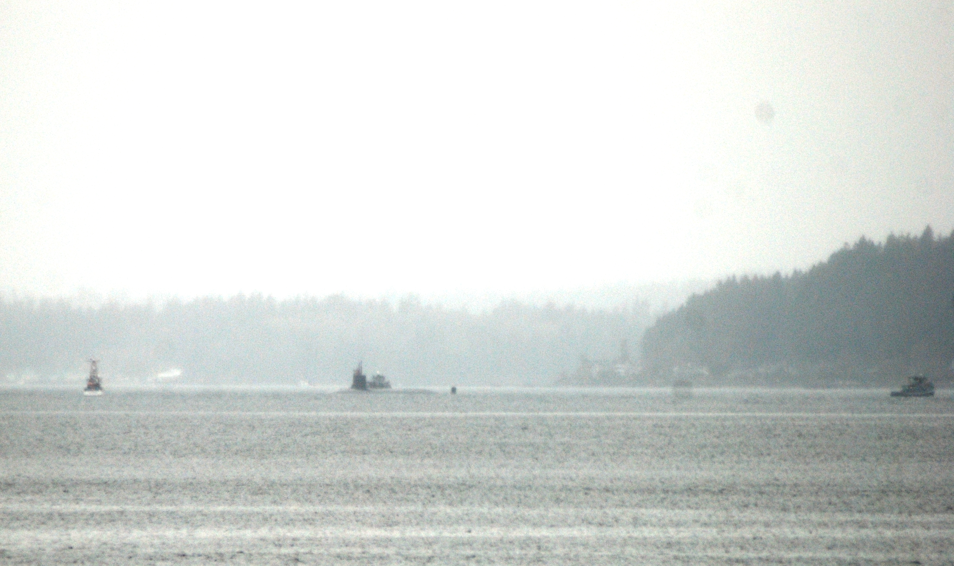
Submarine Spied heading into Rich Passage

This is the second submarine we've seen in roughly a week. What was especially interesting about this sighting is that there were about 10 people standing on the sub.

Sub

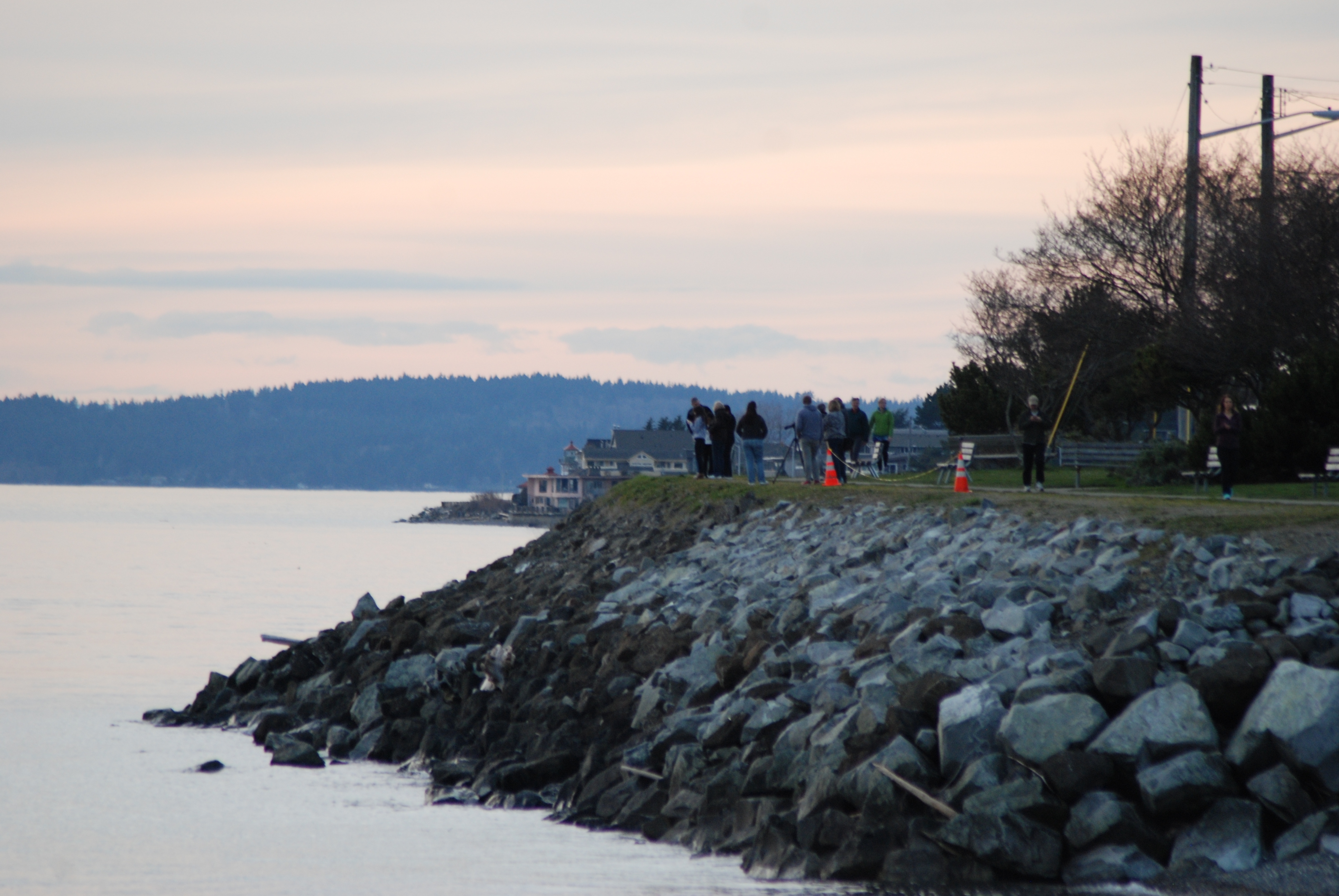
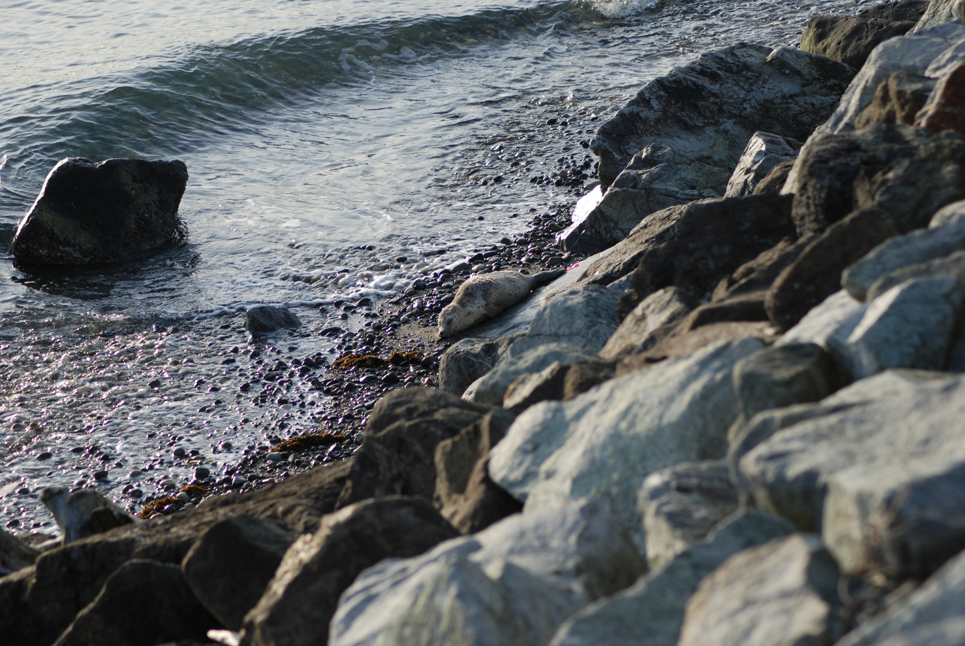
Seal Pup sunning on the beach at Emma Schmitz Viewpoint

Seal3

A small crowd gathered on Emma Schmitz Viewpoint to watch a seal pup gather some sun on this lovely Spring evening. 

Seal5
Seal1

A huge thanks to photographer TonJe' Taylor for sharing her camera battery with me.

Practice makes more perfect for various rescue agencies

Blakely Rock off the northeast of Bainbridge Island is the scene of several public agencies working on polishing their on- shore & near-shore rescue techniques and procedures.  Among the participating agencies include the Coast Guard, various city fire departments, police, and the Washington State Fish and Wildlife.

  RescueExersises

The recent coverage from the Bainbridge Island Review mentioned that this is not the first year for these rescue exercises at Blakely Rock (a popular destination for Puget Sound divers & kayakers at low tide).  Corey Williams, technical trainer for Northwest Maritime Rescue was quoted…

“We are going to be running a couple different scenarios based on some search and rescues from last year; panicked swimmers and divers, … A lot of agencies have no problem getting the kayaker out of there, but they don’t know what to do with the kayak,” Williams said. “If they leave it there, will they go through the proper procedures of reporting the kayak?”

Given warmer weather approaching and the popularity of personal sized paddle craft, this is time well spent by these agencies. You never know when one those guys trolling for salmon from a paddle board actually catches something and gets yanked off their boards!

Scupper, for Beach Drive Blog

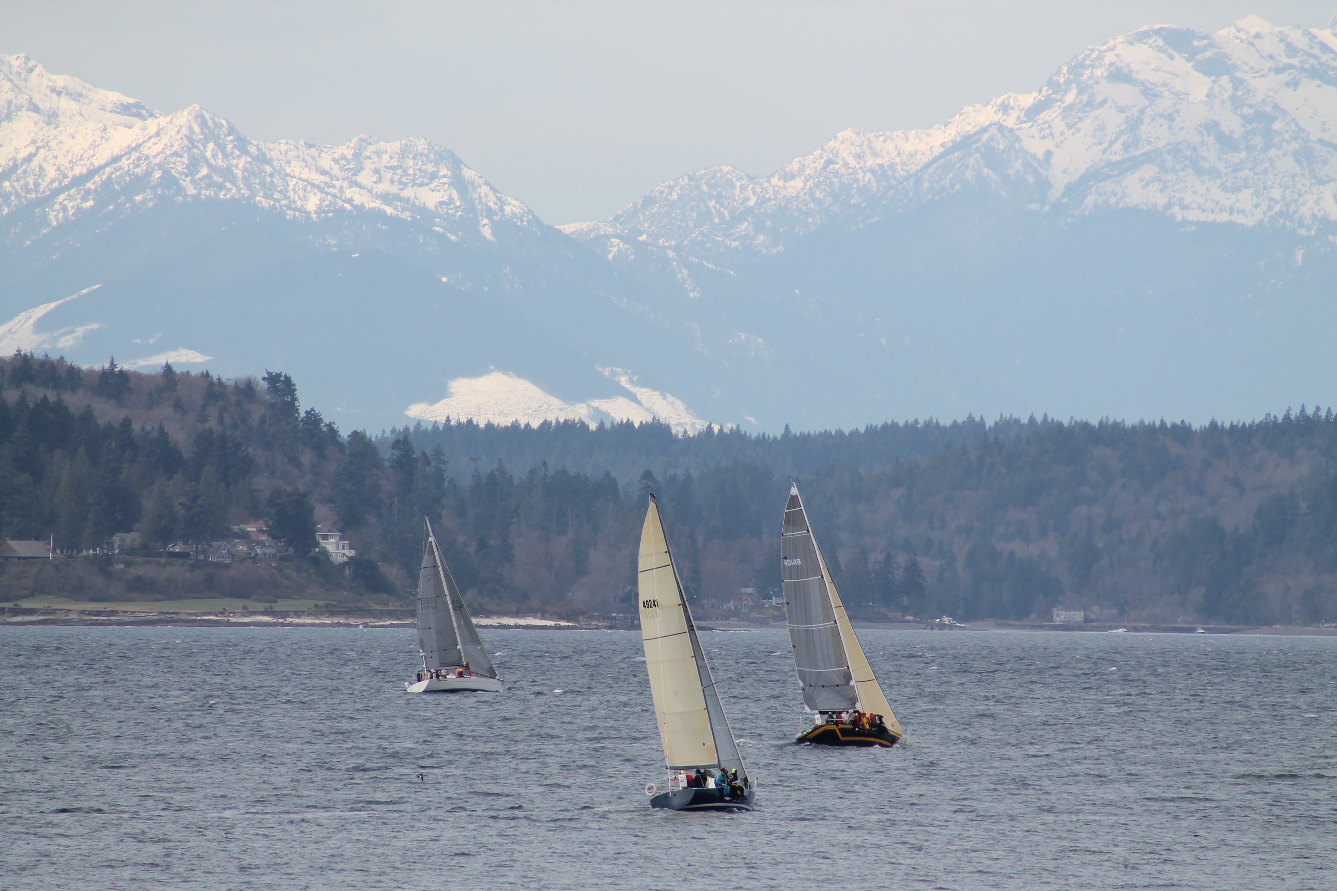
Beautiful photo from today’s Regatta

IMG_0877
Thank you to Rayetta for sending us this wonderful photo from the regatta today. Could they have had better weather? I don't think so! 

Fire on Bainbridge Island as seen from Beach Drive


DSC_0007[1]


DSC_0009[1]