We are preparing for a possible weather event at our home. It seems autumn is officially here and may be making up for what seemed to be an extended summer.
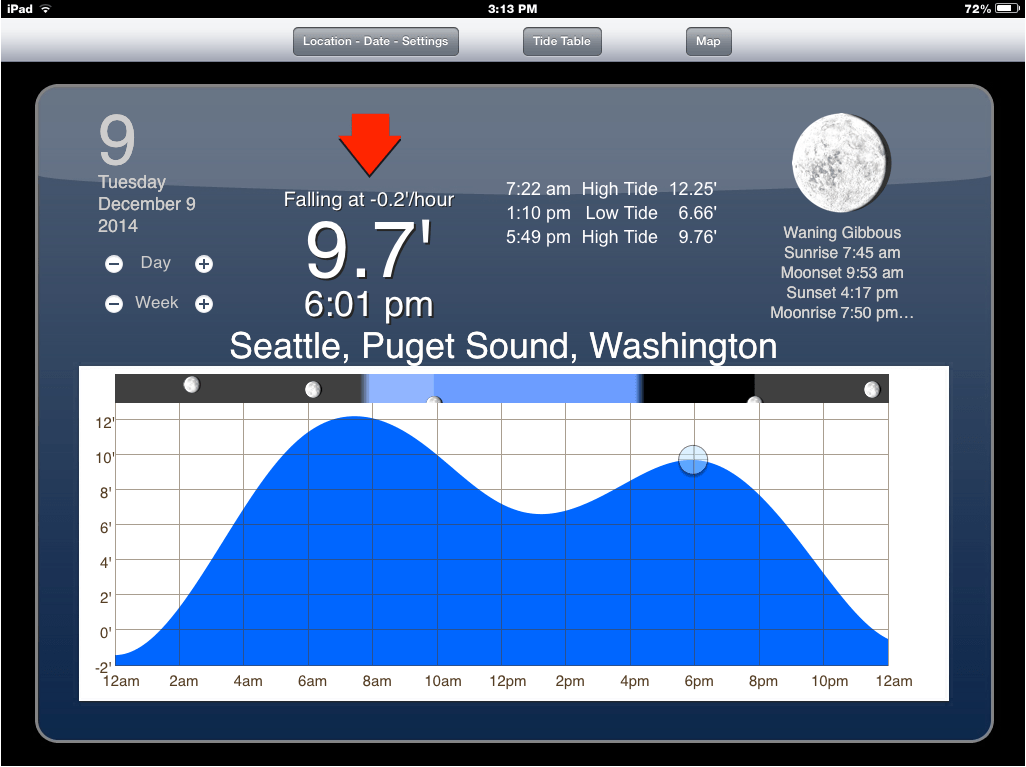
We have higher tides this weekend on the heals of the Hunter’s Moon. From NOAA:

It’s predicted that at 8:10 tomorrow morning, we’ll have tides at 12.11 feet. Saturday morning we may see 11.93 feet at 9:06 am.
Check out the forecast from Wind Alert. It’s expected to be gusty tomorrow morning at high tide and winds are anticipate to pick up again Saturday morning, just in time for high tide with gusts around 45 mph.

The Puget Sound Marine Forecast update at 3:01 this after noon has a small craft advisory through tomorrow (Friday) afternoon. And states: SOUTHERLY FLOW WILL STRENGTHEN TONIGHT IN RESPONSE TO AN APPROACHING WARM FRONT. THIS FRONT WILL MOVE ACROSS THE COASTAL WATERS FRI MORNING AND DISSIPATE. A SURFACE TROUGH OR WEAK COLD FRONT WILL MOVE ACROSS THE AREA FRI AFTERNOON. A POTENTIALLY STRONGER SYSTEM WILL IMPACT THE WATERS ON SATURDAY.
SMALL CRAFT ADVISORY IN EFFECT FROM FRIDAY MORNING THROUGH FRIDAY AFTERNOON
TONIGHT S WIND 10 TO 20 KT. WIND WAVES 1 TO 3 FT. RAIN LIKELY.
FRI S WIND 15 TO 25 KT. WIND WAVES 2 TO 4 FT. RAIN.
FRI NIGHT S WIND 10 TO 20 KT. WIND WAVES 1 TO 3 FT. RAIN.
SAT AND SAT NIGHT S WIND 15 TO 25 KT. WIND WAVES 2 TO 4 FT.
SUN S WIND 10 TO 20 KT. WIND WAVES 1 TO 3 FT.
SUN NIGHT S WIND 15 TO 25 KT. WIND WAVES 2 TO 4 FT.
The National Weather Service has issued a Flood Watch:
...FLOOD WATCH IN EFFECT FROM FRIDAY EVENING THROUGH SUNDAY
AFTERNOON...

THE NATIONAL WEATHER SERVICE IN SEATTLE HAS ISSUED A

* FLOOD WATCH FOR PORTIONS OF NORTHWEST WASHINGTON AND WEST CENTRAL
  WASHINGTON...INCLUDING THE FOLLOWING COUNTIES...IN NORTHWEST
  WASHINGTON...CLALLAM...GRAYS HARBOR...JEFFERSON...KITSAP...
  MASON...SKAGIT AND WHATCOM. IN WEST CENTRAL WASHINGTON...KING...
  LEWIS...PIERCE...SNOHOMISH AND THURSTON.

* FROM FRIDAY EVENING THROUGH SUNDAY AFTERNOON

* A WET PATTERN WILL DEVELOP FRIDAY AND CONTINUE INTO SATURDAY.
  RAIN WILL BE HEAVY AT TIMES...ESPECIALLY OVER THE MOUNTAINS. 4
  TO 8 INCHES OF RAIN IS LIKELY OVER THE MOUNTAINS FOR THE 48 HOUR
  PERIOD COVERING FRIDAY AND SATURDAY WITH LOCALLY HIGHER AMOUNTS
  POSSIBLE. THIS WILL CAUSE SHARP RISES ON AREA RIVERS. MINOR
  FLOODING IS POSSIBLE POSSIBLE ON SOME AREA RIVERS BY SATURDAY
  MORNING AND FLOODING CONCERNS FOR AREA RIVERS WILL CONTINUE INTO
  SUNDAY. OF PARTICULAR CONCERN IS THE MOUNT RAINIER AREA AND
  RIVERS FLOWING OUT OF THE PARK. SOME MODELS SHOW RAINFALL
  AMOUNTS WELL OVER A FOOT FOR THE 48 HOUR PERIOD ENDING SATURDAY
  AFTERNOON. THESE AMOUNTS COULD CAUSE MORE SERIOUS FLOODING FOR
  RIVERS FLOWING OFF MOUNT RAINIER.

PRECAUTIONARY/PREPAREDNESS ACTIONS...

A FLOOD WATCH MEANS CONDITIONS ARE FAVORABLE FOR FLOODING BUT
FLOODING IS NOT IMMINENT OR OCCURRING. MONITOR THE LATEST
FORECASTS FROM THE NATIONAL WEATHER SERVICE AND BE READY TO ACT
QUICKLY IF FLOODING IS OBSERVED OR A WARNING IS ISSUED.
Trick-or-Treaters should probably prepare with weather-proof goody bags!
Stay tuned.


Recent Comments